Hiking Paths on the Gaisberg
Aktuální informace
The Gaisberg circular hiking trail is closed due to the removal of damaged wood until April 17, 2025.
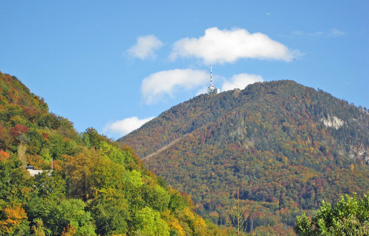
One of the most popular local mountains in Salzburg (elev. 1287 m), the Gaisberg is a hiking paradise for the whole family. Numerous routes treat hikers to marvelous views of Salzburg and the surrounding mountain world. The Zistelrunde and the Gaisberg Hiking Loop, in particular, are excellent choices if you are in the mood for an excursion in nature.
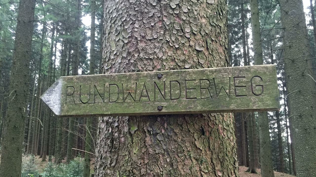
The hiking paths on the Gaisberg take anywhere from 15 minutes to 3 hours to complete and are clearly marked. If you want to hike closer to the top of the mountain, we suggest taking bus line 151 from the city center. Other hiking paths leading up the Gaisberg begin near stops for public buses (mainly on the No. 6 and No. 7 lines). All buses are included in the Salzburg Card. All hiking routes are described in detail on the Gaisberg map.
- Route 13a – Gaisberg circular trail - easy - 1-1½ h - approx. 5.9 km - starting point: Zistelalm, line 151
- Route 13b – Zistel trail - easy - 30 min - approx. 2.6 km - starting point: Zistelalm, line 151 – also suitable for buggies
- Route 13c – Gaisberg peak circular trail - easy - 15 min - approx. 1 km – starting point: Gaisbergspitze, line 151
- Route 12 – easy - 2¾ h - approx. 6 km - starting point: bus stop "Bildungscampus Gnigl", line 151 or "Obergnigl", lines 2, 23
- Route 13 – moderate - 2½ h - approx. 6 km - starting point: bus stop "Ludwig-Schmederer-Platz", line 6
- Route 14 – easy, but rocky - 2½ h - approx. 8 km - starting point: bus stop "Ludwig-Schmederer-Platz", line 6
- Route 15 – Dr. Herbert Walterskirchen Weg - easy - 2¾ h - approx. 11 km - starting point: bus stop "Aigen S-Bahn", line 7
- Route 16 – easy - 3 h - approx. 11 km - starting point: bus stop "Josef-Kaut-Strasse" or "Valkenauerstrasse", line 7
- Route 17 – moderate - long, from the Zistelalm occasionally steep and slippery - 3 h - approx. 11 km - starting point: bus stop "Josef-Kaut-Strasse" (17a) or "Valkenauerstrasse" (17), line 7
- Romantikhotel Die Gersberg Alm
- Hotel Restaurant Zistelalm
- Kasnocknwirt
- Kohlmayr's Gaisbergspitz
- Rauchenbühelhütte
- Goasn-Alm

